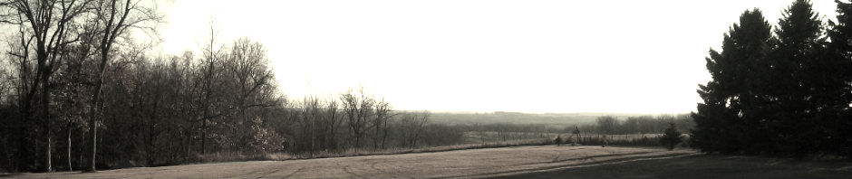
Nothing can match the experience of traveling to Norway to visit the towns and farms where your ancestors were born and from where they emigrated, but you can now get a 360-degree drive-by view of many of those places through Google Maps Street View. Recently, Google added Street View to all of Norway, so anything seen from the road is now available to you at home. The experience is enhanced for Google Earth users, who can create virtual tours and can “drive” along a road.
[htmlembed name=”streetview”]
If you don’t know precisely where to look, try these steps:
- Identify the farm name and herad (township) by using a combination of public records.
- Use Norgeskart’s search tools to find that farm or place name on the map. (Also, the historic map option can be helpful.)
- Open Google Maps to the same location (If necessary, use the
 button in the Norgeskart map to view latitude and longitude, which you can plug into Google Maps.)
 - Drag the little yellow man
 onto the Google Map, and drop him onto one of the blue lines (these indicate areas for which photography is available). You should zoom into a 360-degree view of that spot, and you can move around by dragging and clicking with your mouse. Experiment to discover more features, or check the tutorial.
Street View can also show farms and places in the USA, but photography is incomplete along many rural routes.

13 Responses to Visit your Norwegian ancestors’ farms without leaving home