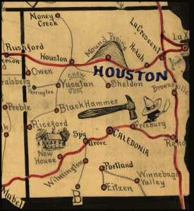
 Early railroads (and their tycoons) were the beneficiaries of a great gift from the government: to run rail lines to the West, railroads were typically granted every odd-numbered section for six or so miles on each side of the tracks they promised to lay, in the areas where the government wanted to promote development.
These land grants [PDF] were made to numerous railroads that ran throughout Minnesota and Iowa. According to Minnesota in Three Centuries:
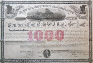
Southern Minnesota Railroad Company stock certificate
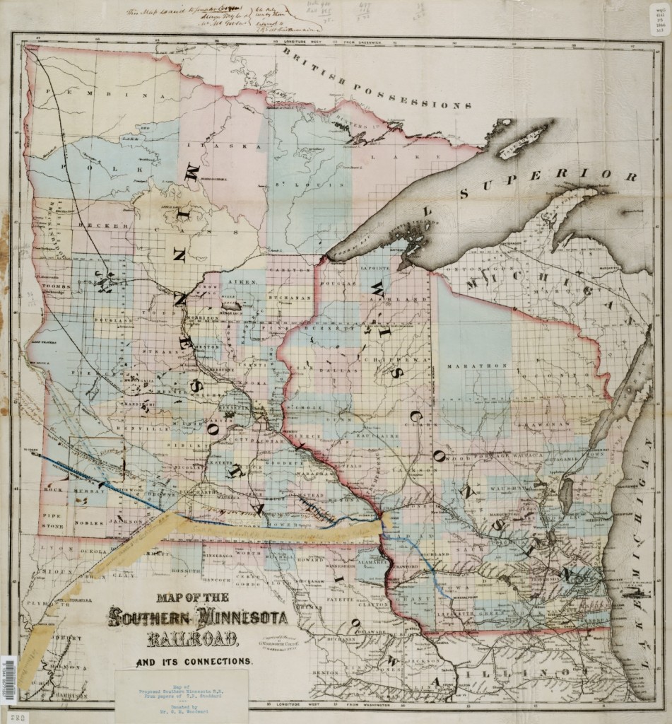
The Root River Valley and Southern Minnesota Railroad Company was originally chartered March 2, 1855, with a capital stock of $5,000,000. By the original act, it was to be constructed from the village of Hokah westward by the most feasible route to some point between the southern line of the Territory, and a point between township line 110 and 111, crossing the Minnesota River: Thence westward to the most feasible route to the Great Bend of the Missouri River. With privileges of branches from Hokali, via Target Lake to Eagle Bluff; alo another from Hokah to Brownsville and a third from some point on the main line east of range twelve west of Mower, Freeborn, and Faribault to the west line of the Territory. Under the new act the starting point was made La Crescent instead of Hokah, thence by Target Lake up the valley of the Root River to Rochester to a point of junction with the Transit Railroad. It was also authorized to construct a railroad from St. Paul and. St. Anthony, via Minneapolis to Shakopee, thence via Belle Plain, Le Sueur, Traverse des Sioux, St. Peter, Kasota, Mankato, and South Bend, to the southern boundary of the Territory in the direction of the Big Sioux River; also build its Brownsville branch from Hokah. By an act of the Legislature in 1857, the name of this road was changed to the Southern Minnesota Railroad Company.
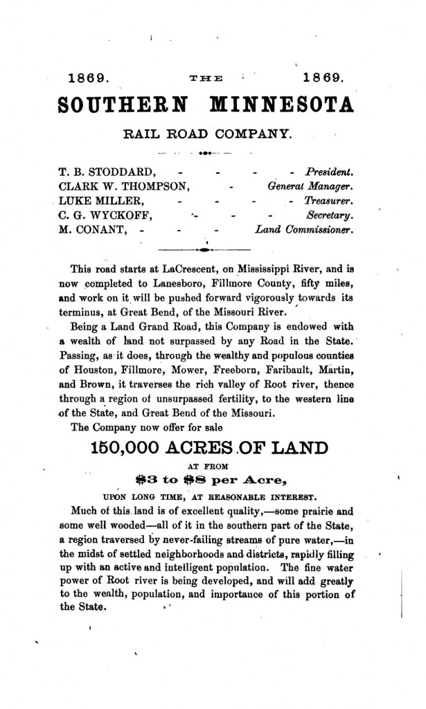
After a tumultuous start – being foreclosed upon in 1860 and resurrected with public money – the Southern Minnesota Railroad Company sold land along its tracks throughout Houston County; the 1869 advertisement (below) from Minnesota: Its Advantages to Settlers, a promotional book for would-be pioneers and immigrants, offers land across southern Minnesota.
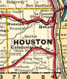 The initial rail line ran across the northern half of Houston County, and a branch line connecting Newhouse, Spring Grove, Wilmington and Caledonia was authorized on November 28, 1873, and completed in 1879. Numerous spur lines ran through the region, connecting grain elevators to the main line and providing easy access to agricultural global markets. According to Carlton Qualey:
This change was tremendously stimulated by the arrival of the narrow-gauge railroad in 1879, a branch line running from Reno, on the Mississippi River, to the village of Preston, Fillmore County, and connecting thence with the Southern Minnesota Railroad at Isinours. The road was built by a locally organized group with headquarters at Caledonia (the next village east of Spring Grove) and was known as “The Caledonia, Mississippi and Western.” In 1880 it was taken over by the Chicago, Milwaukee, and St. Paul Railroad, the Reno-Preston branch feeding into its main line at Reno. The railroad brought the farmers of Spring Grove Township into direct contact with the markets in Chicago and the smaller markets such as Winona. It was now possible to sell grain and livestock in Spring Grove village after only a short haul.
Despite a great boom in the railroad in the 1870s and the addition of a telegraph franchise, the Southern Minnesota Railroad Company continued to have trouble and underwent a series of reorganizations. Land left unsold by the defunct company was homesteaded by settlers, but when the assets of the railroad were taken over by the Milwaukee Road in 1880, these settlers were illegally and forcibly removed by the Milwaukee Road – only to have the Secretary of the Interior finally rule in favor of the settlers in 1895.
More:


One Response to Southern Minnesota Railroad Company service in Houston County